By Rob Case, Ph.D., P.E.
The Elizabeth River Trail—born of a shared vision of the West Ghent Civic League, Norfolk Historical Society, Norfolk Southern Corporation, and the City of Norfolk—links key locations on the western side of Norfolk. The first portion of the trail opened in 2003; the most recent addition was added in 2012.
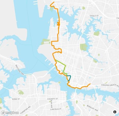
Elizabeth River Trail
Source: elizabethrivertrail.org
Scope:
- According to https://elizabethrivertrail.org, “today the Elizabeth River Trail runs for 10.5 miles between Harbor Park Stadium and Norfolk International Terminals.”
- “A formal resolution ratified by Norfolk City Council extends the vision of the trail to Norfolk State University, and along the former Norfolk Southern right of way to Virginia Beach”
The Elizabeth River Trail is part of a regional system of major trails—some portions existing and some proposed—as shown in pink below.
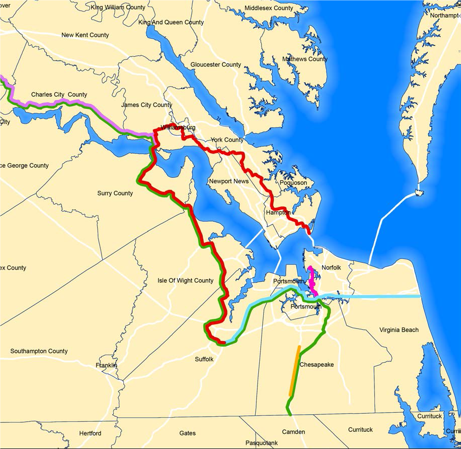
Major Active Transportation Routes
Source: Linking Hampton Roads, HRTPO, 2020, pg. 25
What the trail actually is:
- Southern segment: From Harbor Park—home of Norfolk’s Triple-A baseball team the Tides—to Jeff Robertson Park (near 21st Street), the trail runs mostly along a path separated from autos and dedicated to trail users (cyclists, pedestrians, etc.).
- Northern segment: From Jeff Robertson Park to Norfolk International Terminals (NIT), the trail runs mostly along low-volume roadways.
Because of its beauty and connectivity, this article focuses on the southern segment, the mostly separated path from Harbor Park to Jeff Robertson Park. According to the trail counter at Plum Point Park, this portion of the trail is used by approximately 250 cyclists and 1,000 pedestrians per day.
Separated paths serve both recreational and transportational (destination-driven) purposes, as investigated separately below.
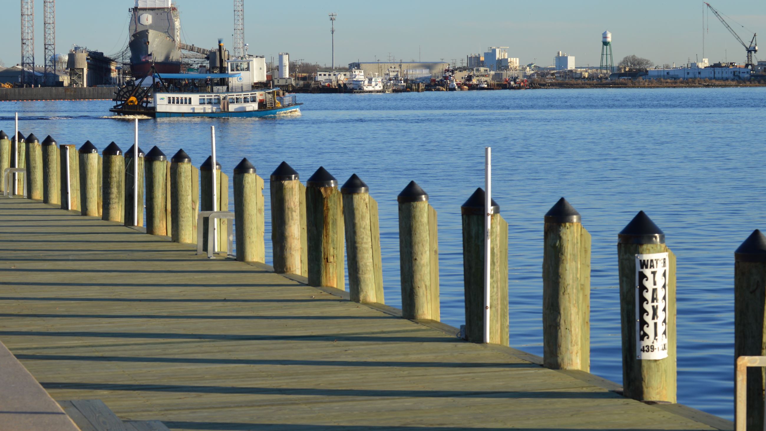
The recreational usage of the southern segment is enhanced by the pleasantness of the design of the path, its environs, and afforded views, as shown below:
 Beautiful Environs of the Elizabeth River Trail
Source: elizabethrivertrail.org
View from Downtown Portion of Elizabeth River Trail
Source: HRTPO staff
The usage of the southern segment for transportation is enhanced by the destinations and neighborhoods that it serves, as shown below:
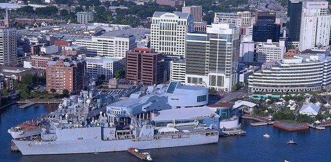
Downtown Norfolk, along southern segment of the Elizabeth River Trail (ERT)
Source: downtownnorfolk.org
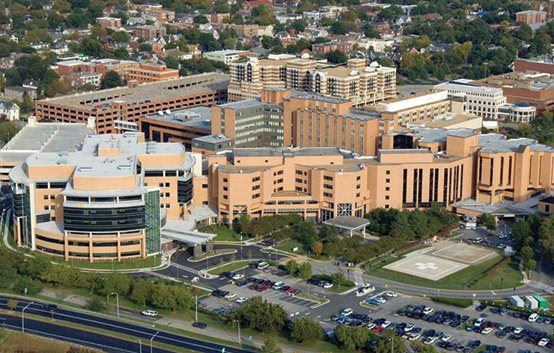
Norfolk Medical Complex- EVMS, Sentara Norfolk General Hospital, and CHKD Hospital
Source: Sentara.com
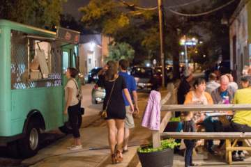
Restaurants and Breweries in Chelsea, along the ERT
Source: visitnorfolk.com
Many residential neighborhoods are within walking distance of the southern segment of the trail, as listed and shown below:
- West Ghent
- Atlantic City
- The Hague
- Freemason
- Downtown
- Brambleton
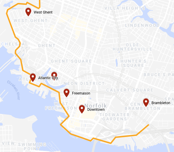
Neighborhoods along the ERT’s southern segment
Source: HRTPO
If you don’t live or work near the trail, you can access it via:
- Norfolk’s light rail train, the Tide
- Harbor Park station
- York Street / Freemason station
- EVMC / Fort Norfolk station
- auto
- Downtown Norfolk parking decks
- Chelsea district on-street parking
- ferry from Portsmouth
- HRT’s Elizabeth River Ferry
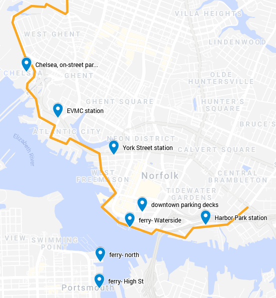
Accessing the ERT’s southern segment
Source: HRTPO
See you on the trail!