by Robert B. Case, PhD, PE
Chief Transportation Engineer
Recently, the City of Portsmouth built a short (1,000’) multi-use path in the Westhaven neighborhood of Midtown Portsmouth, completing a gap in the existing bike network.
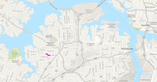 | 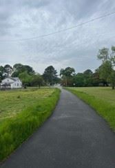 |
The Bart Street / South Street Multi-Use Path Source: HRTPO staff via ArcGIS Pro | Photo of a portion of the Bart Street / South Street Multi-Use Path Source: HRTPO staff via iPhone |
Running through greenspace, this path not only provides a pleasant space on which to walk, bike, etc., it also connects South Street, Nottoway Street, the Westhaven Elementary parking lot, and Bart Street.
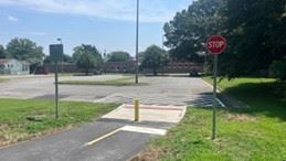 |  |
Path Connection to Westhaven Elementary School Source: HRTPO staff via iPhone
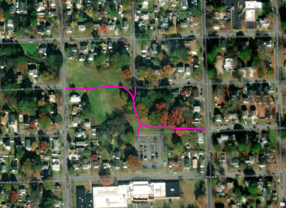
| The Bart Street / South Street Multi-Use Path Source: HRTPO staff via ArcGIS Pro |
The new Bart St / South Street Path is part of the Westhaven Bicycle Improvements project (VDOT UPC# 102985) that completes a missing link in the Midtown bike network, joining the 7’ sidewalks on the western side of Airline Blvd to the bike lanes in Clifford Street. According to the city’s engineering department, “This project includes pavement marking, signage and a multiuse path providing a multi-use corridor to from the neighborhood (Westhaven Elementary School) to the Clifford Street Bridge and ultimately to City Park.”
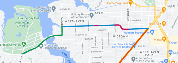 | 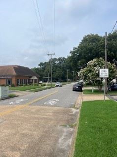 |
Bike Network from City Park (at left) to Airline Blvd (at right) (bike lanes, sharrows, paths, 7’ sidewalk) Source: HRTPO staff via Google My Maps | Sharrows Pavement Markings on Bart St Source: HRTPO staff via iPhone |
Enjoy using this route for recreation and transportation.