By Rob Case, Ph.D., P.E.
Sometimes you get a trail without building it! After VDOT opened the new 4-lane George Washington Highway in 2005 on new right-of-way parallel to the old George Washington Highway, the City of Chesapeake converted the old 2-lane highway into an 8-mile trail for bicycles and pedestrians named the “Dismal Swamp Canal Trail” (DSCT). Whereas most multiuse trails are 8-12’ wide, usage of the old highway pavement gives this trail an unusually spacious 24’ width.
The map below shows the new highway (yellow, labeled “17”) and the Dismal Swamp Canal Trail (thick black line). The thin black line above the DSCT is an existing 2-mile multiuse path 8’ wide connecting the DSCT to Deep Creek Park, providing a straight pathway over 12 miles long for cyclists, pedestrians, skateboarders, etc.
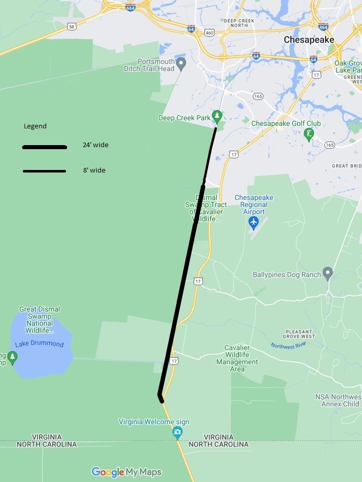
In addition to its unusual width, the DSCT has natural and man-made amenities. It runs along the historic and peaceful Dismal Swamp Canal, lined by large trees providing shade and birdlife. (The canal is shown to the right of the trail on photo below.)
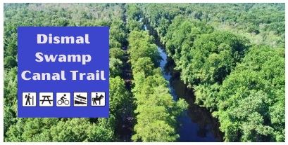
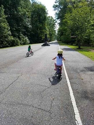
Photo Sources: cityofchesapeake.net
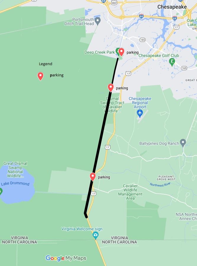
To this natural beauty, the City of Chesapeake has added the convenience of parking, restrooms, and benches. Although the trail is not served by bus, trail users can access the trail via auto by parking at any of the three lots shown below:
- northern lot at Deep Creek Park
- middle, main lot at Whedbee Carroll Ln
- southern lot at Ballahack Boat Ramp
For more details about the 8-mile DSCT section, visit the City’s Dismal Swamp Canal Trail webpage.