By Sara Kidd, GISP
GIS, Data, & Analytics Manager
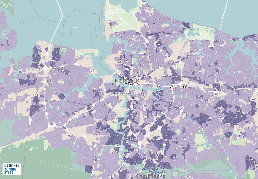
For the December Map of the Month, we are highlighting the Virginia Zoning Atlas which was recently completed and released, offering the first statewide view of zoning information across the Commonwealth. Developed by HousingForward Virginia, in conjunction with the National Zoning Atlas initiative, the project aims to make zoning information transparent, comparable, and accessible for planners, researchers, policymakers, and the public. Until now, zoning information in Virginia, like in most states, was only available within thousands of local documents, maps, and ordinances that vary widely in structure, terminology, and accessibility. The new Atlas brings this information together in a standardized format to inform housing, land use, and regional planning decisions.
Creating the Virginia Zoning Atlas required extensive data collection and processing. HousingForward Virginia staff started with the Hampton Roads region, gathering local zoning ordinances and official zoning maps from every town, city, and county, then reviewed to identify residential zoning districts and their key regulatory characteristics. These characteristics include minimum lot sizes, density limits, housing types allowed, accessory dwelling unit (ADU) provisions, and other dimensional or use standards. It also incorporates overlay districts and in Coastal Virginia, the Chesapeake Bay Preservation Area (CBPA).
Because localities describe zones differently, each district was translated into a consistent nationwide schema developed by the National Zoning Atlas, a project of Land Use Atlas, Inc., a nonprofit organization. Parcel boundaries were then merged with zoning districts to create a unified, parcel-level dataset.
The Virginia Zoning Atlas is currently accessible within the National Zoning Atlas interactive map. There is also a tool to create a “Zoning Snapshot” that summarizes the zoning information by any jurisdiction, region, or state. Click this link to the view the Zoning Snapshot for the Hampton Roads Metropolitan Statistical Area (MSA). The ability to download the data is a future enhancement.
Click to view in a new window.